|
| *****SWAAG_ID***** | 902 |
| Date Entered | 08/11/2015 |
| Updated on | 08/11/2015 |
| Recorded by | Tim Laurie |
| Category | Burnt Mound |
| Record Type | Archaeology |
| SWAAG Site | Stainton Moor |
| Site Access | Army Range |
| Record Date | 01/01/2005 |
| Location | Army Live Firing Range, Wathgill, Cow Park. |
| Civil Parish | Stainton |
| Brit. National Grid | SE 104 954 |
| Altitude | 260m |
| Geology | Drift over strata below the Underset Limestone. Spring rise. |
| Record Name | Wathgill, Cow Park. Burnt mound at edge of recent small arms range. |
| Record Description | Medium sized burnt mound located some 18 years ago, during a walkover survey to locate any archaeological features which would be affected by the construction of a recent small arms range. |
| Dimensions | 8m*6m*.7m high overall approximately |
| Additional Notes | This burnt mound should be considered to relate to the unenclosed settlement of middle Bronze Age character located some 800m further upslope on open moorland at SE102947, on the boundary between Bellerby and Walburn Civil Parishes. See previous SWAAG Record No 901. |
| Image 1 ID | 6529 Click image to enlarge |
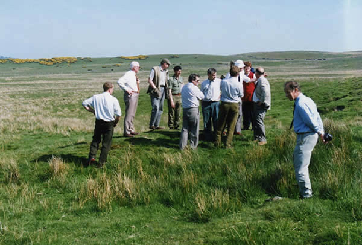
| Image 1 Description | The burnt mound receiving very close attention from visiting group of members of the Catterick Training Area Conservation Group | 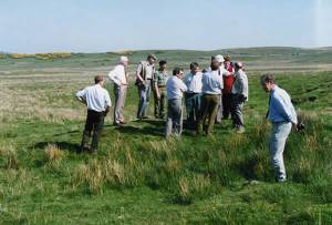 |
| Image 2 ID | 6530 Click image to enlarge |
| Image 2 Description | Wathgill Cow Park and site of the burnt mound, prior to construction of a recent small arms range. | 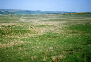 |